
Finding People on Duluth Streets
Address research in Duluth works best as a sequence. First normalize the Duluth mailing address with USPS. Next, find the Duluth parcel in St. Louis County mapping, confirm the PIN and physical address, and inspect the property card. The Recorder then supplies the recorded-document trail, while City of Duluth permit records and Duluth historic directories fill in building and dated household context. A deed grantee can be an owner without living there, and a taxpayer’s mailing address can be somewhere else.
- Use the USPS ZIP Code Lookup to check the current mailing form and ZIP for a Duluth address.
- Search St. Louis County Land Explorer for the Duluth primary physical address, PIN, map point, legal description, and adjoining parcels.
- Open Duluth Property Details Search and the parcel tax card to compare characteristics, tax information, and the stated tax year.
- Use the St. Louis County Recorder’s Duluth document path to reconcile the grantee, grantor, instrument number, and Abstract or Torrens classification.
- Check permits, then use dated Duluth library materials for past household evidence instead of treating property data as a current resident list.
Keep a Duluth source date with every field. The Duluth property card is expressly informal and is not a title, survey, or appraisal. This Duluth street directory workflow is strongest when it confirms a parcel relationship, not when it tries to turn one result into a complete household profile.
Note: A street, a parcel, and a ZIP are useful starting points, but they do not prove the present occupants of a Duluth address.
Duluth Street Records by Address
Several Duluth records can be reached by address, yet each supplies a different layer. Land Explorer provides the geographic frame. Property Details adds parcel characteristics. Recorded land instruments document transactions and title-related events. City systems may show permits or property-history material. Historic directories can place a household at an address for a particular publication year. The table distinguishes those uses so a street-by-street search does not blur records together.
| Address-keyed source | Duluth record keeper | Useful result | How to reach it |
|---|---|---|---|
| Land Explorer parcel map | Duluth St. Louis County GIS | PIN, map point, legal description, parcels and layers | Online map, office or GIS data services |
| Property Details and tax card | Duluth St. Louis County Assessor | Characteristics, sale ranges, tax context and parcel links | Online, Assessor office, phone or Chapter 13 request |
| Recorded instruments | St. Louis County Recorder/Registrar in Duluth | Grantor, grantee, document number and title path | RecordEASE, public terminal, copy request or counter |
| Permits and property history | Duluth CSI | Construction, alteration, inspection and older-file leads | ePlace, City Hall request, phone or email |
| Dated address entries | Duluth Public Library | Historic household and street-section clues | Library directories, local history and genealogy help |
Use a Duluth parcel ID as the bridge between systems. A Duluth street name alone can vary in punctuation, directional abbreviation, or historic form. For a past occupant rather than a modern parcel trail, the local collections belong on the Duluth city directory page, where the historical shelf is treated in detail.
Duluth Parcel Details by Street
The St. Louis County Property Details Search for Duluth is a characteristic and address tool, not a public owner-name search. It accepts a split Parcel ID, physical address, plat, sale-date and sale-price ranges, year-built and gross-area ranges, style, units, and city. County guidance gives a practical fix when a full Duluth address misses: try the house number or an abbreviated street segment, then verify the returned Duluth parcel on the map.
| Property Details field | Duluth street-search use | Important limit |
|---|---|---|
| Physical Address | Find a parcel from a normalized situs address | A complete address can fail; shorter official forms may work |
| CVT, Plat and Parcel | Enter or confirm the St. Louis County parcel identifier for Duluth | It identifies land records, not a household |
| City and Select Plat | Narrow a Duluth-area property query | Neither field is a ZIP-wide resident filter |
| Sale, year-built, area, style and units | Compare property characteristics | Use returned data with its update and tax context |
The St. Louis County Assessor Property Details Search for Duluth says its data is updated daily and identifies the payable-year context. It did not display a public owner-name field on the inspected search screen. If a result needs clarification, the Assessor can be reached in Courthouse Room 212 or at A.P. Cook, by phone at 218-726-2304, through the county’s data-practices route, or with library house-history assistance.
The St. Louis County Property Details Search for Duluth is the source for this Duluth street directory capture.
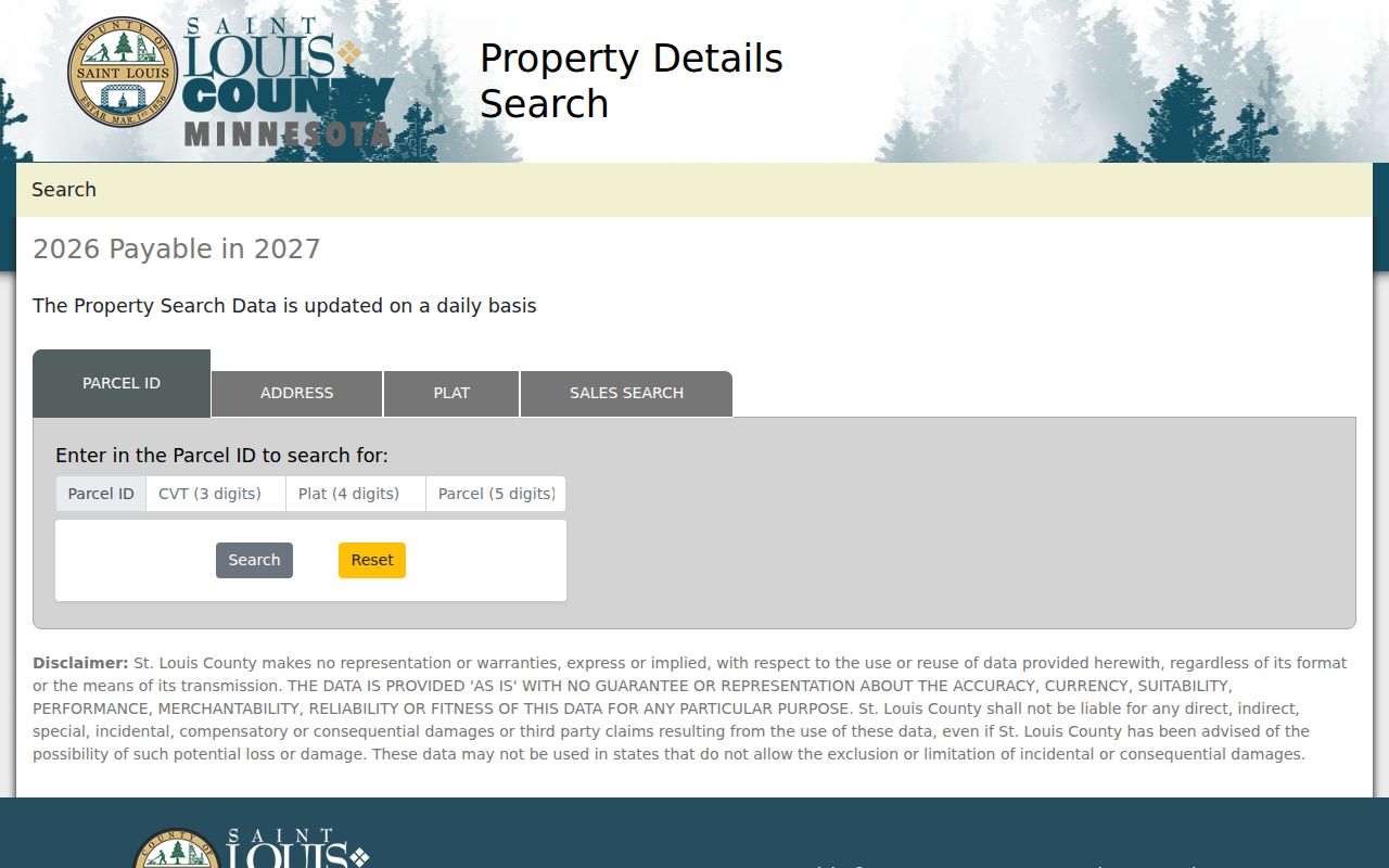
The screen is a reminder to begin with parcel characteristics and confirm the map result before assigning any person to an address.
Duluth Street Directory Map Context
Land Explorer is the clearest first map for a Duluth street directory search. Its address search, pop-ups, map and table views can link a Duluth parcel to Property Details and tax tools. The map includes Duluth address points, parcel labels, road labels, administrative boundaries, public lands, zoning, elevation, and imagery. Historic imagery reaches back to 1937 through 1940, with later aerial years also available.
The local caution matters. County GIS distinguishes physical, taxpayer, and owner addresses. A Duluth parcel may contain several physical addresses, while the search widget uses an arbitrary primary physical address. Omit periods from directional and street-type abbreviations when trying the map. When a hit appears, compare the Duluth parcel boundary, map point, tax district, legal description, and all available addresses rather than assuming they describe the same person.
- Parcel
- A mapped unit of Duluth land identified by a county PIN or parcel ID.
- Situs address
- The physical location assigned to the parcel or building, distinct from a mailing address.
- Plat
- A recorded subdivision layout that helps describe lots and blocks.
- Criss-cross directory
- A historic directory arranged by address or street, used to locate dated household entries.
Note: Land Explorer can show adjacent parcels, but a nearby roof or driveway does not establish a legal neighbor relationship.
Deeds Along a Duluth Street
After the parcel is stable, use the Duluth St. Louis County Recorder and Registrar of Titles route for the recorded-document trail. Duluth land can be under Abstract or Torrens systems. Abstract document images are available online back to October 16, 1961, while earlier abstract material may require deed-book or office research. Torrens records have separate certificate and filing mechanics. A legal description and PIN help keep a common name from becoming a false match.
RecordEASE is a paid subscription service, with a 20-minute inactive session limit. Abstract Filing Requests cover July 1, 1990 through the current certification date, and Tract Index searching begins January 1, 1987. The online guide calls for last-name-first, no-punctuation name searches, plus alternate spellings, dates, cross-references, and legal-description fields. Capture the instrument number, recording date, grantor, grantee, document code, prior reference, and title system with each hit.
The RecordEASE access screen is supplied in the Duluth street directory image set.
Use the screen as a Duluth land-access boundary, not as proof that every older deed image is available online. The St. Louis County Recorder in Duluth has public terminals and can handle plain or certified copies by counter, mail, email, fax, or request.
Duluth Street Permit History
City of Duluth records add the building layer to a street search. Duluth ePlace offers public searching for permits, plans, inspections, licenses, requests, and invoices. More detail or an application can require registration. The system replaced eTRAKiT in 2024, so a quiet search result does not mean an older file never existed.
For a Duluth property-history request, City of Duluth Construction Services and Inspections directs older-than-1992 research to CSI. The route includes City Hall Room 100, 218-730-5240, and permittingservices@duluthmn.gov. Plans or blueprints may be held by Building Safety and can carry safety or privacy limits. Duluth address assignments belong with Engineering, so an apparent historic number change needs confirmation rather than a guess.
The Duluth permit and property-history route appears in the county-approved capture below.
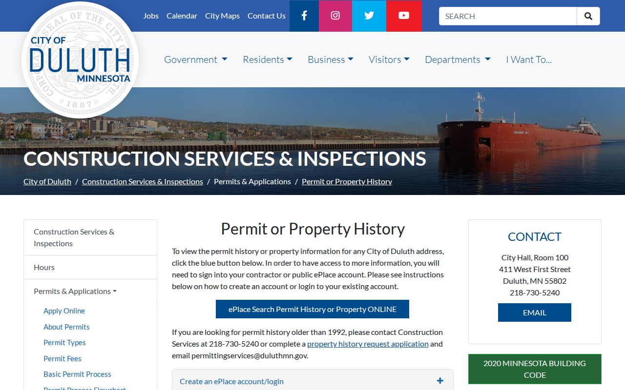
Permit data can describe work on a Duluth building. It should be reconciled with the parcel and deed trail before it is used in a street history.
Duluth Street Address Changes
No comprehensive public Duluth street-renumbering history or address-change index was located. City CSI and Engineering handle current address assignments, but a historic number should not be converted by assumption. Compare the old and new legal description, lot and block, parcel footprint, assessor sketch, recorded instrument, directory street section, and the relevant Sanborn or atlas plate. Those clues can support a documented connection without inventing a renumbering year.
For an unresolved address, use the CSI contact route with the property address and parcel ID, then ask the Recorder, Assessor, library, or Engineering staff to confirm the right record trail. Historic imagery can help compare a building footprint or road relation, but it does not identify people. This cautious approach keeps a Duluth street directory search from merging two nearby properties that only appear to share a history.
1930 Duluth Street Directory Pivot
The 1930 volume is an important Duluth street directory turning point because it is the first local city directory arranged street by street. Earlier volumes are chiefly alphabetical. That change makes 1930 and later street sections useful for a house or block question, but a missing entry still needs care: the library lists gaps including 1919, 1933, 1945, 1947, 1949, 1953, and 2008.
Duluth city directories begin in the 1880s. The library’s local chronology also places the first Duluth phone directory in 1888, a small card with 30 numbers. Phone books and city directories are different record types. For a house history, compare the appropriate directory form with newspapers, maps, assessor material, permits, and recorded instruments. The Duluth Public Library house-history guide provides that wider research path.
Duluth Street ZIP Checks
A street search has two separate geography checks. USPS confirms the delivery ZIP and mailing format. County GIS confirms the parcel’s physical location and tax or legal context. That split is especially important around 55810 and 55811, which overlap Duluth, Hermantown, Proctor-area, or embedded mailing geography in official materials. A Duluth ZIP alone does not establish that a parcel sits inside the city.
Precinct and neighborhood labels add more layers. Duluth has 34 precincts across five council districts, but a precinct is not a ZIP, parcel, or neighborhood boundary. MNVotes is an individual registration-status and polling-place workflow, not a public name-to-address directory. A statewide voter-list request is limited to registered Minnesota voters using a permitted purpose, with the Secretary of State’s request process and county Elections office as the proper channels.
Note: Verify a ZIP by address, then retain its source separately from the parcel city, legal description, neighborhood, and precinct.
Duluth Street Directory Limits
No official unrestricted current Duluth resident directory was located. The public sources here do not turn a named street into a verified list of everyone who lives there. They can provide parcel, title, permit, mailing, or historical directory clues, each with a date and a custodian. Motor-vehicle personal information is restricted under the Driver’s Privacy Protection Act, and Safe at Home participant information is private. Never try to reverse a substitute address.
Lawful use. Use Duluth street and property records for personal, lawful research such as family history, civic context, estate matters, or checking a property transaction. Do not use combined records to stalk, harass, intimidate, or reconstruct a private person’s routine. Minnesota’s stalking statute, Minn. Stat. §609.749, makes that conduct a serious matter.
For a public county record that is unavailable online, ask the custodian for the public portion under the Minnesota Government Data Practices Act, Minn. Stat. ch. 13, and ask for the withholding basis if data is not released. The county counter, phone, mail, email, fax, library, archives, and public terminals remain important access routes when a portal is incomplete.