
Duluth ZIP Code Directory Coverage
Official Duluth-area materials list fourteen ZIP codes in local mailing or reporting contexts: 55801, 55802, 55803, 55804, 55805, 55806, 55807, 55808, 55810, 55811, 55812, 55814, 55815, and 55816. The list is useful for a Duluth ZIP code directory, but it is not a city-limit table or a promise of exact street coverage. Use the current address lookup for a delivery decision.
| ZIP code | Reported Duluth-area context | Post office check | Research note |
|---|---|---|---|
| 55801 | Duluth-area mailing context | Verify a Duluth address with USPS | Exact neighborhood coverage was not located |
| 55802 | Duluth downtown and core | Verify a Duluth address with USPS | Report-era count: 2,493 |
| 55803 | Duluth Mount Royal, Woodland, north and east | Verify a Duluth address with USPS | Report-era count: 16,395 |
| 55804 | Duluth Lakeside and Lester | Verify a Duluth address with USPS | Report-era count: 14,301 |
| 55805 | Duluth east-central and medical corridor | Verify a Duluth address with USPS | Report-era count: 11,155 |
| 55806 | Duluth west and central | Verify a Duluth address with USPS | Report-era count: 9,515 |
| 55807 | West Duluth | Verify a Duluth address with USPS | Report-era count: 10,371 |
| 55808 | Gary-New Duluth and Morgan Park | Verify a Duluth address with USPS | Report-era count: 5,828 |
| 55810 | Duluth-area overlap | Verify a Duluth address with USPS | Can include embedded or nearby geography |
| 55811 | Duluth-area overlap | Verify a Duluth address with USPS | Can include nearby-community geography |
| 55812 | Duluth UMD and east | Verify a Duluth address with USPS | Report-era count: 10,177 |
| 55814, 55815, 55816 | Duluth mailing or unique-address possibilities | Verify a Duluth address with USPS | Exact street coverage was not located |
The USPS ZIP Code Lookup is the current source for an address ZIP or a city-and-state query. Its result is a mailing-format check. It does not assign a neighborhood, prove a parcel sits in the City of Duluth, or identify the people associated with an address.
Finding a Duluth ZIP Code Match
Begin with a full Duluth address, not a name or a broad ZIP. USPS confirms the Duluth ZIP used for delivery. County parcel tools then show the Duluth property’s physical and legal context. If the search turns into a street-by-street property question, continue through the Duluth street directory, which covers parcel, deed, permit, and dated address research without claiming that a ZIP produces a current resident list.
- Run the address through USPS and retain the returned city and ZIP as the mailing result.
- Search St. Louis County Land Explorer by Duluth physical address and confirm the parcel, primary address, map point, and tax district.
- Use Duluth Property Details by address, parcel ID, city, plat, or documented property characteristics when a parcel needs confirmation.
- Compare the Duluth parcel city, ZIP, neighborhood, precinct, and legal description as separate fields.
- For voter services, use the individual status or polling-place workflow, or the restricted list-request process when its eligibility and purpose rules are met.
The St. Louis County Assessor’s inspected Property Details page for Duluth has a City selector but no ZIP field. St. Louis County GIS serving Duluth has no guaranteed ZIP-wide person result. These are meaningful limits: a property search can validate an address, but no official unrestricted Duluth ZIP owner or resident export was located.
Note: Keep the USPS result and the county parcel result together, but label each source so mailing geography is not mistaken for property geography.
Duluth ZIP Code Lookup Fields
Use Duluth postal tools for the question they actually answer. The USPS service offers ZIP by Address and ZIP by City/State modes. The Postmaster Finder adds ZIP-to-ZIP and first-three-digit tools, with historical Duluth postal-office context. Each result should stay labeled as a postal result. It should not be substituted for St. Louis County land data in Duluth or census geography.
| Postal mode | Starting information | Useful Duluth result | What it does not establish |
|---|---|---|---|
| ZIP by Address | Street address | Current mailing ZIP and address format | Parcel boundary, owner, or neighborhood |
| ZIP by City/State | City and state | Postal ZIP possibilities for Duluth | Exact street range or city-limit proof |
| Postmaster Finder | ZIP, ZIP range, or first three digits | Postal reference and historic context | Current person or parcel information |
The USPS Postmaster Finder is especially useful when a postal-history question arises. For current delivery, return to the address lookup rather than relying on the historical 2014 bulletin that listed many 558-series ZIPs.
The USPS ZIP Code Lookup is shown in this Duluth ZIP code directory capture.
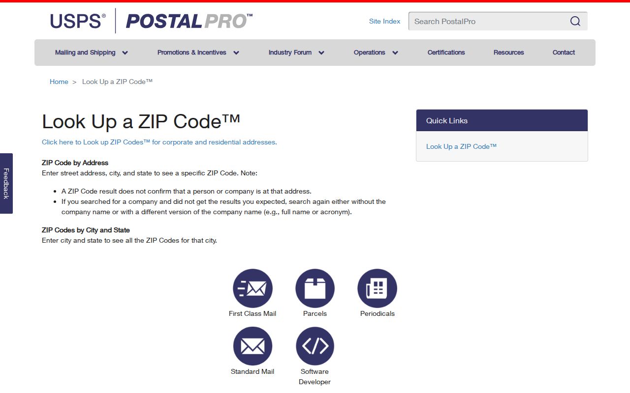
The screen supports an address-first check, which is more reliable than assigning a ZIP from a neighborhood label.
Duluth ZIP Code Counts Need Dates
A St. Louis County health-status report for Duluth gives useful scale, but not current census estimates. It reported 24,942 for 55811, 16,395 for 55803, 14,301 for 55804, 11,155 for 55805, 10,371 for 55807, 10,177 for 55812, 9,515 for 55806, 8,786 for 55810, 5,828 for 55808, and 2,493 for 55802. Those are report-era counts, not a count of present Duluth residents, households, directory entries, or mailing addresses.
The report also warns that ZIPs do not follow Duluth city boundaries and flags 55810 and 55811 for tiny ZIPs or embedded areas. Read these figures as a way to understand the Duluth geography behind a ZIP code directory, not as a way to estimate who may live at a particular address. Current Duluth population measures, postal delivery areas, and county parcels each use a different method.
Note: A ZIP-level count is a dated area statistic, not a household roster and not proof that an address is inside Duluth.
Duluth ZIP Codes 55810 and 55811
The largest local ZIP caution concerns 55810 and 55811. Spirit Mountain material places their mailing geography across Duluth, Hermantown, and Proctor-area contexts. County reporting also notes embedded areas. A person can use one of those ZIPs for mail while the property’s municipal, neighborhood, school, precinct, or tax identity points somewhere else.
Check the address with USPS, then compare it to the county’s Land Explorer parcel map. The map can display the tax district, physical address, parcel boundary, and road context. Its GIS fields distinguish physical, taxpayer, and owner addresses, so even the county record should not be reduced to one presumed resident address.
The USPS Postmaster Finder capture belongs beside this boundary check.
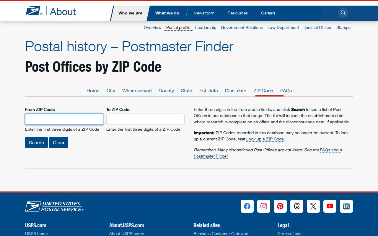
Postal reference information gives context for a ZIP. Parcel and city validation still need their own county or city source.
Duluth ZIP Code Postal History
A historical USPS bulletin is helpful for understanding the local 558 postal group, but it should not be used as current street-level evidence. The 2014 reference lists Duluth-area ZIPs including 55801, 55802, 55805, 55806, 55808, 55810 through 55812, and 55814 through 55816. It is one reason a historic mailing label may appear in older material, even when a present address needs a fresh check.
For a historic house, directory, or deed question, record the ZIP exactly as the dated source prints it and compare it to the current USPS result separately. This is the same care used with old street numbers and former address forms. The ZIP can support a postal history, while the parcel, city boundary, and legal description establish the land-record context.
Duluth ZIP Codes and Civic Lines
Duluth’s physical geography makes layered labels common. The city is a Lake Superior port community with steep terrain and varied neighborhoods. East Hillside, Endion, Lincoln Park, West Duluth, Morgan Park, and other local areas can be useful context, but a neighborhood is not a postal boundary. The City also has 34 precincts across five council districts. A precinct map defines civic boundaries, not ZIP coverage.
When election information is relevant, Minnesota Voter Status Lookup is a user-specific registration and polling-place tool. The registered-voter public information list has separate limits under Minn. Stat. §201.091: an eligible requester must be a registered Minnesota voter and certify a permitted purpose. It is not an open ZIP search for people. The St. Louis County Elections office, online request form, phone, email, and in-person access are the proper channels for records that may be released.
Duluth ZIP Code and ZCTA Difference
The Census uses ZIP Code Tabulation Areas, or ZCTAs, for statistics. A ZCTA approximates postal ZIP geography. It can be noncontiguous, unique or PO-box-like, and different from an incorporated-place boundary. A ZCTA is therefore not a substitute for an actual ZIP, a County parcel, or the City of Duluth boundary.
The Census ZCTA guidance explains the distinction. That guidance is useful when reading an area statistic, but current mailing research should start with USPS. This image supports the difference between a postal ZIP code directory and a statistical geography.
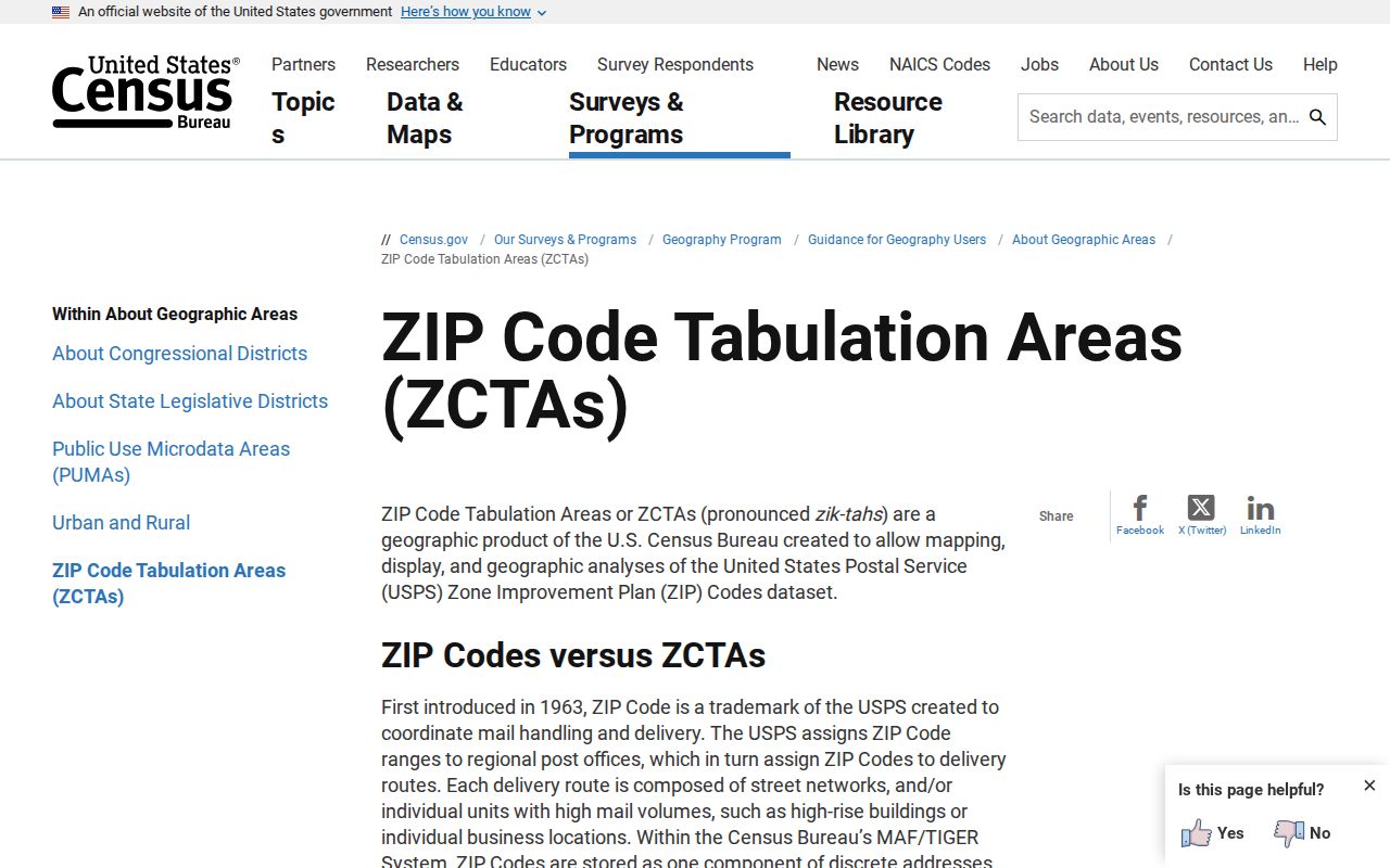
Use a ZCTA only for the census purpose described by its source. Keep it separate from the ZIP returned for a particular address.
Note: A ZCTA is a census approximation, while a ZIP is a Postal Service delivery designation that can change or follow different boundaries.
Duluth ZIP Code Directory Limits
The research found no public ZIP filter across all Duluth owners or residents. A county address search may return a parcel, while a voter-status search answers for an individual and a restricted voter-list request has eligibility and purpose rules. Neither result should be used to build a private-person roster. For a non-online public record, contact the specific county or city custodian and request the public portion under the Minnesota Government Data Practices Act, Minn. Stat. ch. 13.
- ZIP code
- A Postal Service delivery code tied to an address or mailing pattern.
- ZIP+4
- An added four-digit segment that narrows delivery within a ZIP code.
- PO-box ZIP
- A ZIP used for post-office-box service, which may not describe a surrounding neighborhood.
- Unique ZIP
- A ZIP associated with a particular organization or specialized delivery use.
- Carrier route
- A delivery sequence used by postal carriers, not a city or parcel boundary.
Privacy boundary. Use ZIP and public-record tools for lawful personal research, postal verification, civic context, family history, or property questions. Do not combine sources to stalk, harass, or expose a protected address. Safe at Home participants use protected substitute-address arrangements.
For records that must be clarified beyond a portal, use the county counter, telephone, mail, email, public terminals, library, or formal data-practices request identified by the custodian. A ZIP does not change a record’s privacy classification.